Built by someone who fishes these rivers
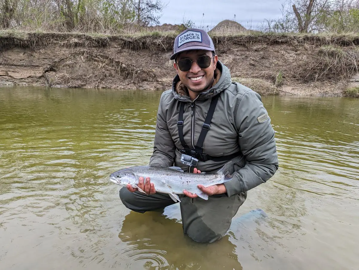
I built HereFishyFishy because I was tired of checking four websites before every trip. The gauge was on one, the forecast on another and the regulations in a PDF, and I'd still drive to water that was blown out, too warm or closed. It now covers eleven Ontario rivers, reach by reach.
What it does
For each river, the site pulls live flow from the Water Survey of Canada gauge for that reach and the weather from Open‑Meteo, then checks both against run timing and the Ontario regulations. It tells you whether to go, where on the river to start and what to bring. It also tells you whether the stretch you had in mind is open that day.
That last part matters more than I expected. Ontario closes trout and salmon on most water on September 30, but some lower reaches stay open to December 31 and some stay open all year. The regulations describe the boundaries by bridges and rail lines, not by anything you'd notice from the bank. A few sanctuaries also sit right on the best water at the worst time of year. The Ganaraska closes its town reach for six weeks of the run, and the Credit closes a long stretch from mid-August to the end of December. Sending someone to closed water is worse than sending them nowhere.
How I run it
- If I'm not sure, it stays off the site. That goes for regulations and access points. Every page lists its sources and flags what you should check on the day. The closure notes on Bowmanville are a good example.
- Live numbers beat general advice. “Fish after rain” is true everywhere, so it doesn't help much. Whether the Ganaraska is at 2.4 or 11 m³/s this morning is what changes your plan, and every river drops at its own pace after rain.
- I write from my own fishing. The pages come from time on these rivers, not from other websites: the euro nymphing morning that took two fly changes, or what an October morning at Port Hope is like. If I haven't fished something, I say so.
- Free, with no account and no ads. It doesn't cost much to run, and I'd rather it just be useful.
Who I am
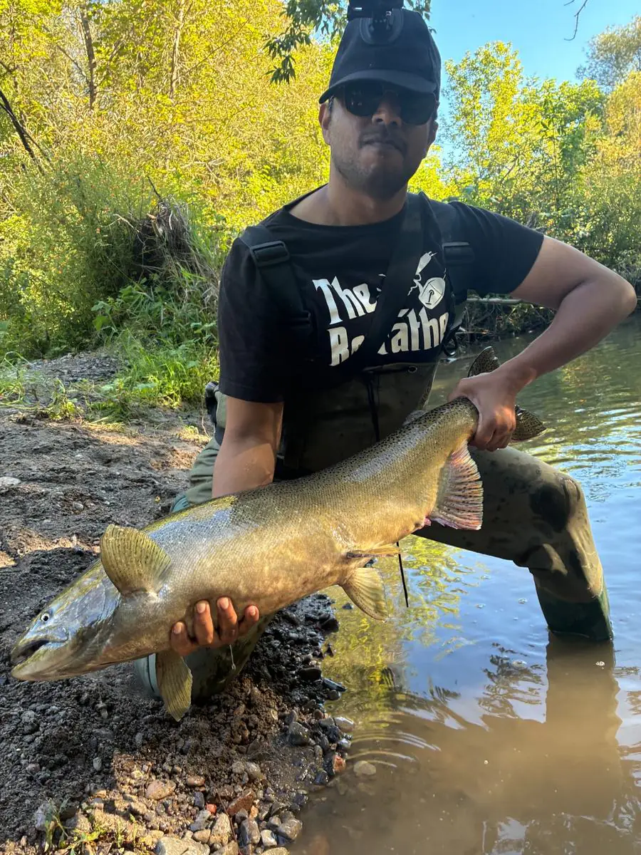
I go by TJ. I caught my first steelhead on the Credit years ago and have been chasing that feeling ever since, mostly in weather a sensible person spends indoors.
The Credit is still the river I fish most. In trout season I'm up at the Forks with a euro nymphing rod. One morning there took two fly changes to get the depth and then the profile right, and ended with eight hook-ups and four rainbows landed. A 50 percent landing rate. I prefer to call it a learning experience.
When the salmon are in I head east to Port Hope and Bowmanville. On an October weekend at Port Hope there's already a line of people on the bank before dawn, like a concert nobody dressed for. At peak, the hard part is keeping fish off your hook. Not a problem I'm used to having.
In winter I'll stand at Old Mill on the Humber until my fingers stop taking instructions, then sprint to the car. On February 19, 2024 that happened right after two steelhead. Worth it. Probably.
The rest of the time it's the Grand and the Saugeen, with a float rod, a spinning rod or a fly rod depending on the water. I'm not a guide and I don't sell anything, so nobody is paying me to say any of this.
I film some of it too. The channel covers the same rivers as this site, including euro nymphing the Upper Credit, spring steelhead and the fall salmon run, and most of the techniques on these pages come from it. Several of the videos are on the Credit River page.
Fishing with TJ on YouTube →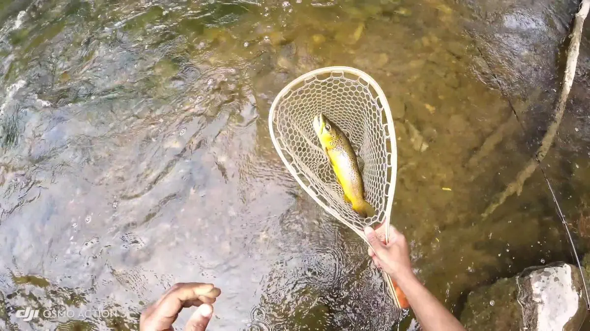
Where the data comes from
Flow: Water Survey of Canada real-time gauges, matched to the reach rather than the whole river. The lower Credit reads at Streetsville, not Cataract, and mixing those up puts you 40 km off.
Weather and water temperature: Open‑Meteo. Where there's no water temperature probe, the site estimates it from air temperature and tells you it's an estimate.
Regulations: the Ontario Fishing Regulations Summary, current edition. Seasons, sanctuaries and gear rules are set per reach, not per river.
Any of it can be wrong or out of date. Check the regulations for the exact stretch before you fish it. The official summary is the authority, not me.
Getting in touch
If something here is wrong, like a boundary in the wrong place, an access point that's gone or a closure I've missed, please tell me. The YouTube channel is the easiest way to reach me.
Start here
Check today's conditions and the app will pick a river, a reach and an access point for you. If you'd rather browse, here's every river and all the guides.
In the fall, start with the salmon run timing guide, then the river you have in mind: the Ganaraska, Bowmanville Creek, the Humber or the Credit. For the drift itself, see the three float fishing tips. Once the salmon are done, when steelhead run and where steelhead hold carry you through to spring.