The Credit is three rivers in one
Wild brown and brook trout in a cold escarpment gorge. A mixed middle river. And a migratory lower river full of salmon and steelhead running up from Lake Ontario. Which stretch you pick matters more on the Credit than on any other river in Southern Ontario, because of a dam at Norval.
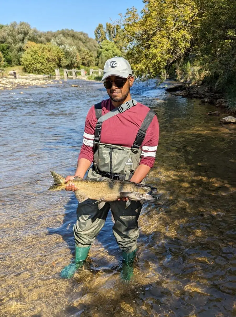
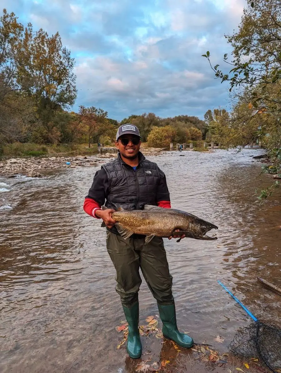
Two dams explain the whole river
Fish running up from Lake Ontario meet the Streetsville dam first, and for Chinook and Coho that's as far as they go. Pacific salmon do not pass it. The Norval dam sits further upstream again. Almost nothing makes it over either under its own power.
Pretty much anything above Streetsville got there because volunteers carried it. The Credit River Anglers Association has operated the Streetsville fishway since 1990, lifting fish through and trucking wild ones 30 km north past the Norval dam in aerated tanks so they can reach the cold gravel where they spawn. In autumn they lift Atlantic salmon, steelhead, brown trout and the occasional coaster brook trout. In summer, smallmouth bass and Atlantics.
Chinook aren't on that list. The fishway is closed or blocked during the Chinook run so the Ministry can collect eggs for the Lake Ontario stocking programme. If you're after Chinook, fish below Streetsville. There's no point looking higher.
The three sections
| Section | What it holds | How people fish it |
|---|---|---|
| Upper: Inglewood to Cataract and the Forks | Wild brown, brook and resident rainbow trout | Euro nymphing and dry fly in fast pocket water |
| Middle: Norval Dam upstream to Inglewood | Brown trout, plus steelhead CRAA has carried up | Quieter water, and the least fished of the three |
| Lower: Norval Dam down to Port Credit | Chinook, steelhead, summer smallmouth | Float fishing, and spoons from the pier while fish stage |
The lower river runs all the way up to the Norval dam, but Chinook stop at Streetsville, roughly halfway along it. Everything above Streetsville and below Norval is legally the lower river and holds almost no salmon. The access points worth driving to, Erindale Park and the harbour at Port Credit, are both below Streetsville for that reason.
The middle is the weak spot. Pacific salmon cannot reach it, and the wild trout mostly stay higher up in the colder headwater reaches, so it's missing what makes the sections on either side worth the drive. It's pleasant water, but I wouldn't send someone there with one morning to spend.
That range is what I like most about this river. In a single season you can throw spoons off the pier at Port Credit, float-fish roe through the middle and lower pools, and euro nymph the pocket water up at the Forks. Three very different kinds of fishing on one river, all within an hour of Toronto.
What's in the river, and when
- Brown troutLate Apr – Sept 30 · upper
- Brook troutMay – Jun, Sept · headwaters
- Rainbow troutMar – May · middle & upper
- Chinook salmonLate Aug – Oct · lower
- Coho salmonOct · lower · rare
- SteelheadLate Sept – Apr · whole river
- Smallmouth bassJul – Aug · lower
Steelhead are the exception. They push in behind the salmon in late September and keep coming through the winter into April, and they get the full length of the river. They reach Streetsville or Norval under their own power and get lifted and carried the rest of the way. CRAA runs the ladder daily from ice-out to late April for them, often for thirty days straight.
Coho are on the list for completeness. Don't plan around them. They turn up far more reliably on the rivers east of here; I have never caught one on the Credit.
Smallmouth get overlooked. Through July and August, before the salmon arrive, the lower river fishes well for bass, and almost nobody is down there for them.
Above Old Baseline Road (the Forks and up to Hwy 9): artificial lures only, one single-pointed barbless hook, and catch-and-release for Brook, Brown and Rainbow Trout. Season runs from the fourth Saturday in April to September 30. Closed October 1 to December 31.
Hwy 403 to Britannia Road: fish sanctuary, closed August 15 to December 31. That covers the entire salmon run, so plan around it.
Below Hwy 403, including Erindale Park and the river mouth, is open all year for migratory fish. Confirm the current rules in the Ontario fishing regulations for Zone 16 before you fish.
Where to start
Erindale Park, Mississauga. The most popular access on the river. There's parking, decent pools and runs, and salmon and steelhead stack there during the migrations. It's big enough that even on a busy October morning you can walk to water nobody is standing in. The Credit is one of the most popular rivers in the province, but a single park like Erindale has several access points.
Port Credit harbour and the pier. Where the fish stage from late July, before they commit to the river. Spoons and spinners at dawn and dusk.
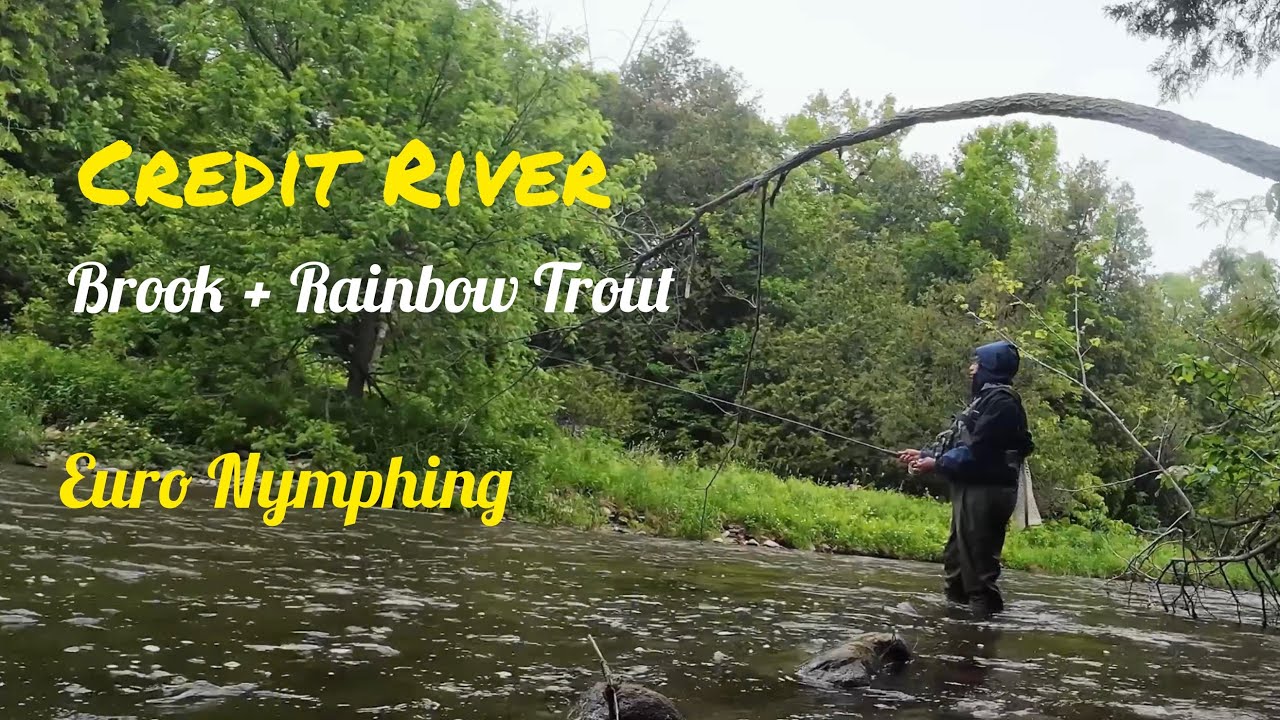
The Forks of the Credit. Fast pocket water, wild trout, artificial only. A very different river from the one at Erindale.
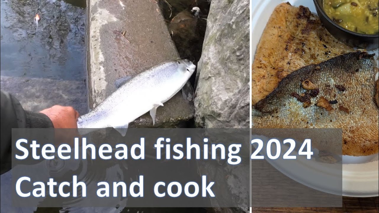
That first steelhead is why this river means more to me than the numbers justify. I still fish it more than anywhere else.
Flow varies enormously between sections, and so do the gauges. The upper river reads at Cataract, the lower at Streetsville. A number that looks fine for one reach can be wrong for another.
See today's conditions for the Credit →Common questions
What fish are in the Credit River?
Wild brown, brook and resident rainbow trout above Norval; brown trout and steelhead through the middle; and Chinook, Coho and steelhead below Streetsville. Smallmouth bass in the lower river through July and August.
How far upstream do salmon go in the Credit River?
The Streetsville dam is the limit for Chinook and Coho. Pacific salmon do not pass it, and the fishway is closed during the Chinook run for egg collection. Steelhead, Atlantic salmon and brown trout get above it only because CRAA volunteers lift them through and truck them 30 km north past Norval.
When is the best time to fish the Credit River?
Trout from the late-April opener through June and again in September. Chinook late August through October. Steelhead from late September into April, best in March and April. Smallmouth in July and August.
The river that used to be full of Atlantic salmon
Before it was a Chinook river, the Credit was one of the great Atlantic salmon streams of Lake Ontario. Tens of thousands of fish ran it every year. Archives record contracts for local farm labourers that limited how often employers could feed their boarders salmon. There was so much of it that it had become a grievance. It was said you could not ride a horse across the Credit without the animal tripping over fish.
Overfishing, dam building and the clearing of the watershed ended that. The Atlantic salmon were gone for roughly 150 years, and for most of the twentieth century their return was treated as a story anglers told rather than a plan anyone had.
Then in 2011, after a fish ladder was built around the Norval dam and decades of water quality work, they came back.
The people who did the work
Much of that is down to the Credit River Anglers Association, who have been running the Streetsville fishway since 1990. The numbers: more than 400,000 trees planted, help decommissioning 23 dams, and over 2,000 volunteer hours a year at the hatchery alone. On Rogers Creek, removing two dams dropped the average water temperature by nine degrees. That's the difference between water salmon can survive in and water they can't.
The fishway upgrades show the same thing on a smaller scale. When CRAA rebuilt the ladder entrance in 1997 so it sat at the base of the dam rather than 30 metres downstream, the share of steelhead finding it went from 10–20% to 99.5%. Adding two more jumps the following year let steelhead enter in water as cold as 4°C. They once lifted over 300 steelhead in a single day.
If you fish the Credit, you are fishing a river that volunteers carry up the hill by hand. Consider joining in if you have a spare evening in spring. The ladder runs daily from ice-out to late April.
Read next
Species-by-species conditions: brown trout, steelhead, chinook. For the upper river in detail, euro nymphing the Upper Credit. Timing for every Ontario river is in the salmon run guide, and every river we cover is on the rivers page.